APPLICATIONS
Ecological restoration, nature conservation 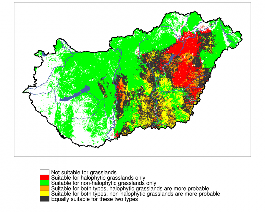
Our potential habitat distribution maps can be applied in ecological restoration and other nature conservation interventions and can assist decisions affecting natural habitats. Knowledge of potential vegetation is essential in such interventions, but so far these could be based on expert estimates only. With the help of the new model predictions, one can select habitats concerned. The habitats are also ranked according to suitability, allowing a wider and still weighted selection for decision makers. It make possible to protect and restore the most sustainable vegetation but also provides alternatives if the most sustainable is not feasible to restore. In case of restoration, it is also possible to rank the possible locations according to the expected sustainability.
Landscape ecology, spatial planning
The results can support landscape ecological analysis, land planning, landscape assessment studies and plans. Such analyses typically relied on the observed, current natural vegetation up to now. However, the current vegetation in not always a good indicator of the vegetation potential. The current condition and regeneration potential of the landscape can be better judged in comparison with the basis of potential vegetation. In a potentially more homogeneous landscape, few vegetation types may be present naturally, while in the potentially diverse landscape, the presence of the same number of vegetation types may indicate impoverishment. Landscape planning, which takes into account potential vegetation, promotes more thoughtful, more suitable and more sustainable spatial plans than previously applied.
RESEARCH POSSIBILITIES
Hungary's potential natural vegetation is a large database the processing and analysis of which as well as its use in further research can give answers to a wide variety of research questions. Our research team - due to its small number and finite capacity - can carry out a fraction of possible research. We believe that by publishing our PNV estimates for research purposes for free, we can most facilitate that the results do not remains numbers, pixels, and bits but will serve forward-looking conclusions.
EXAMPLES, PROJECTS
Seed transfer zones of Hungary
Nyíregyháza - LEGO project
Budapest, Gazdagrét
Past distribution of beech forests
We are looking forward to the requests of conservationists, researchers and ecologists who can apply our predictions on the potential vegetation of Hungary in their projects related to restoration, conservation, research, etc. By presenting potential vegetation in maps, we would like to help designing projects and anticipate research.
PLANNED FURTHER RESEARCH
Methodological research
Our research team is planning further theoretical and practical research on this topic. Some of the theoretical research deals with the methodology of modelling potential vegetation and the evaluation and interpretation of models. The ongoing research studies the method of calculating the climatic predictor variables needed for model building.
Potential future vegetation
Thanks to the trained models and relying on the results of regional climate models, it will be possible to estimate potential future vegetation distribution as well. In addition to the identity of habitats suitable for a particular area today, we can also estimate which habitats will find their environmental needs there in the future (e.g. by the end of the 21st century). This assists long-term nature conservation decisions with sustainable outcome.